Our art and design project linked very well to our Geography based topic called ‘Our Local Area’ as we investigated maps as a stimulus for drawing.
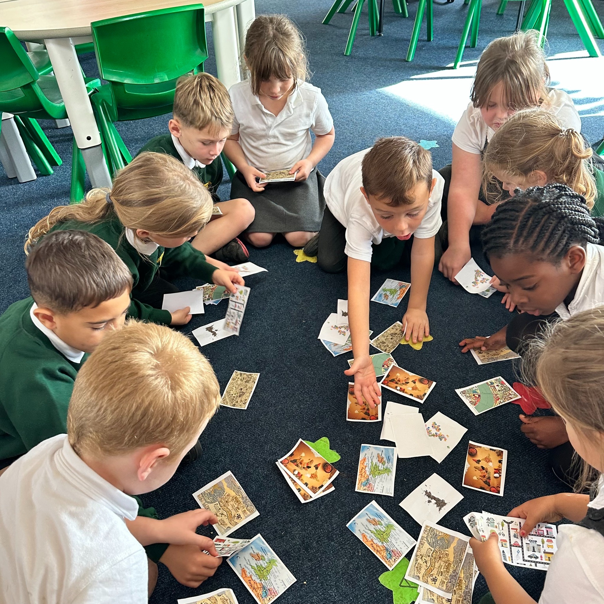
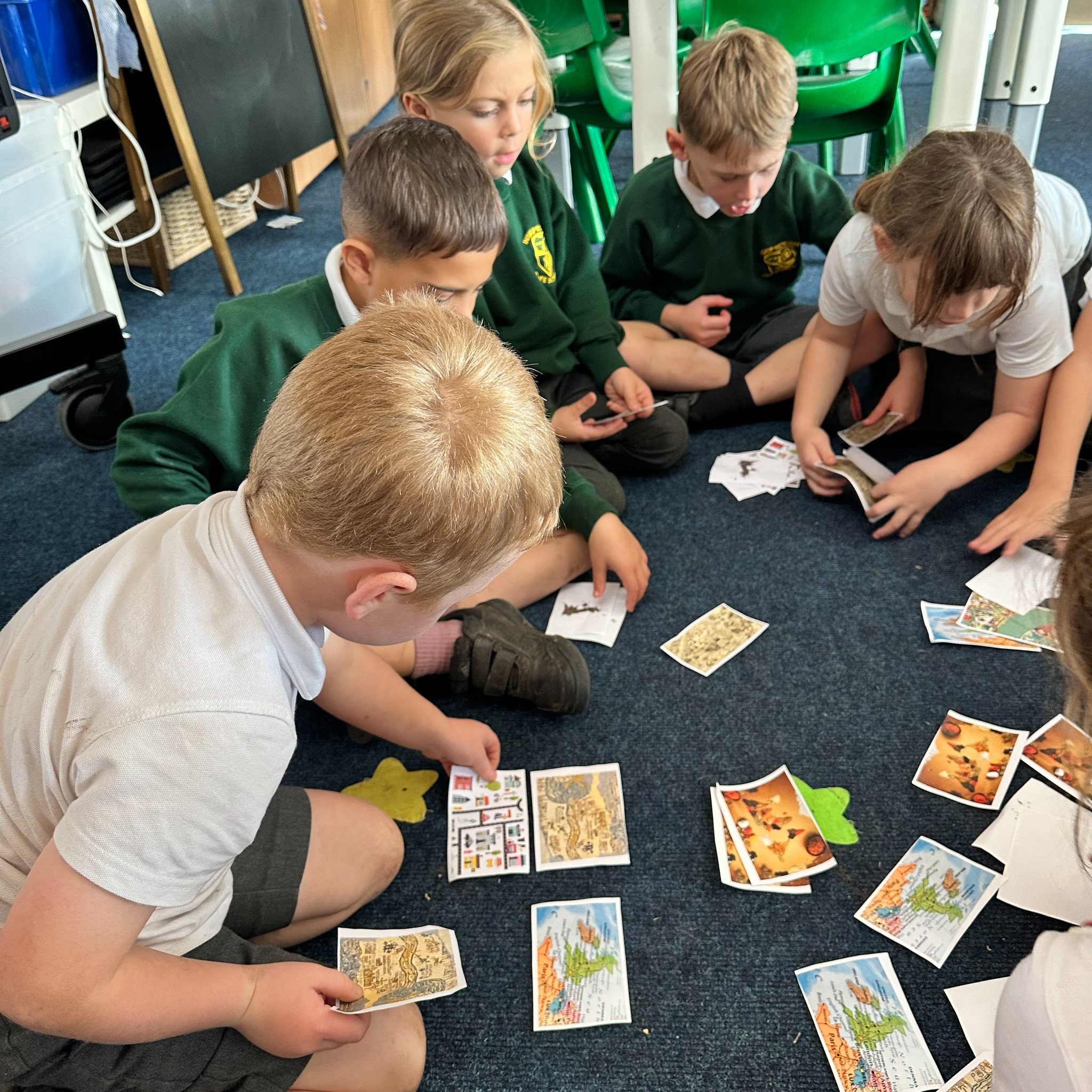
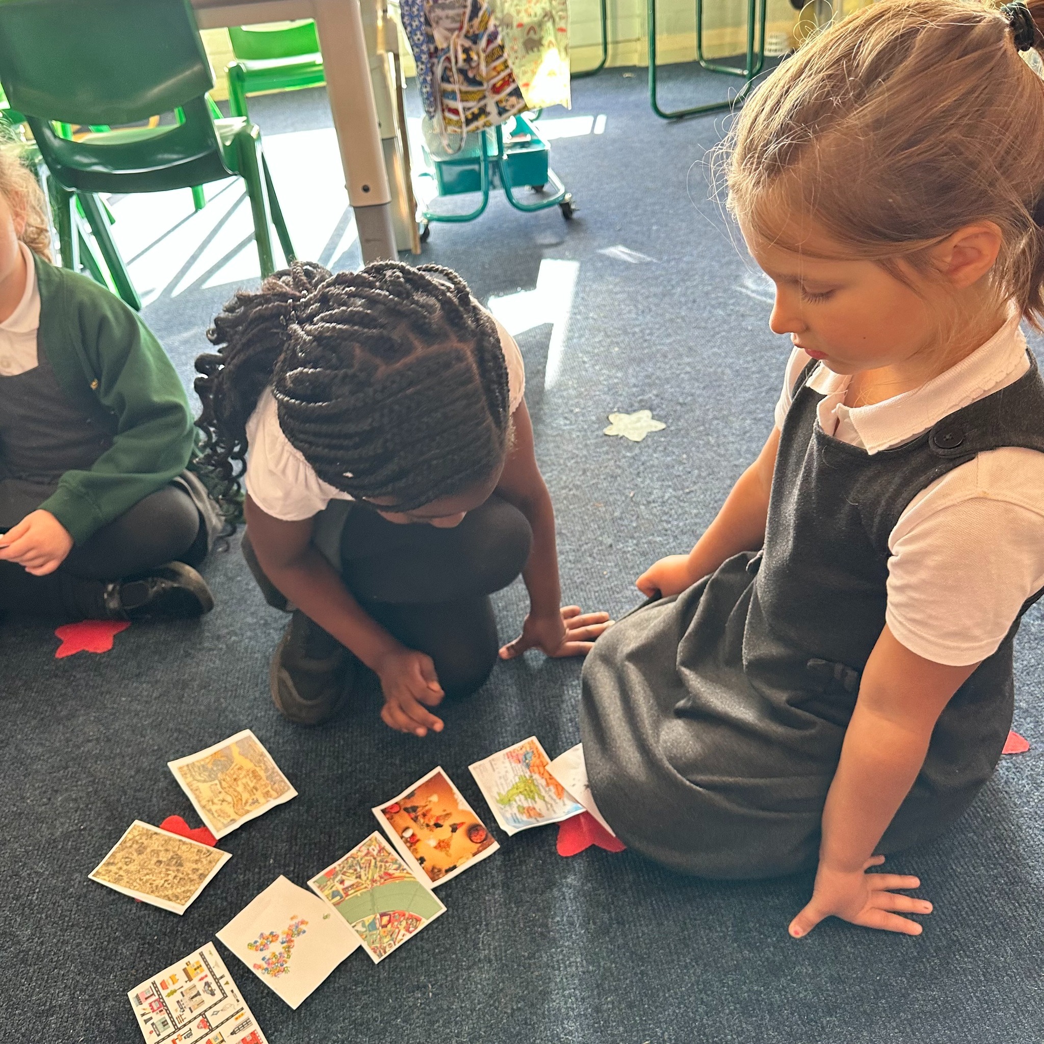
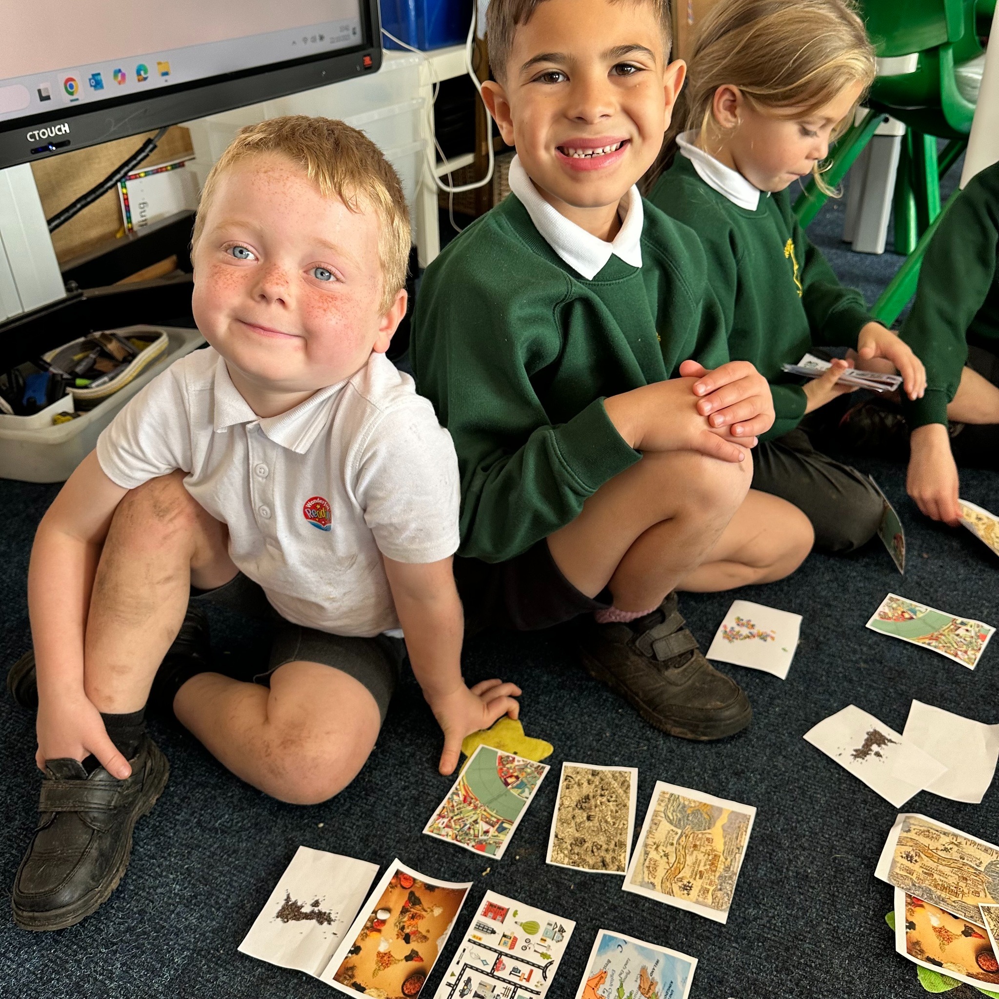
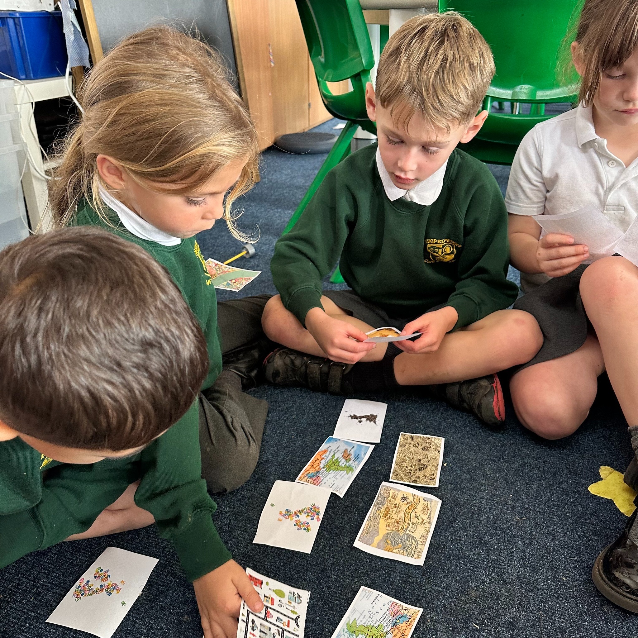
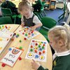
The children began by looking at a series of images of maps and sorted them into groups. They sorted them into: old and new, real and imaginary, maps and ‘not’ maps and useful and artworks. We had such a great discussion as they considered each of these questions…
- What do the images have in common?
- How are maps used?
- Why would someone make an imaginary map?
- How can you tell if a map is really old or quite new?
- Which map is your favourite and why?
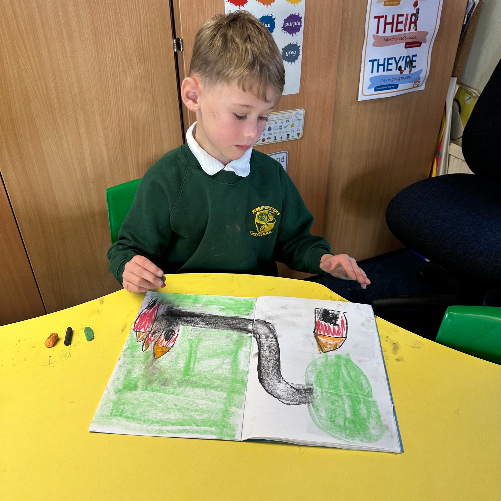
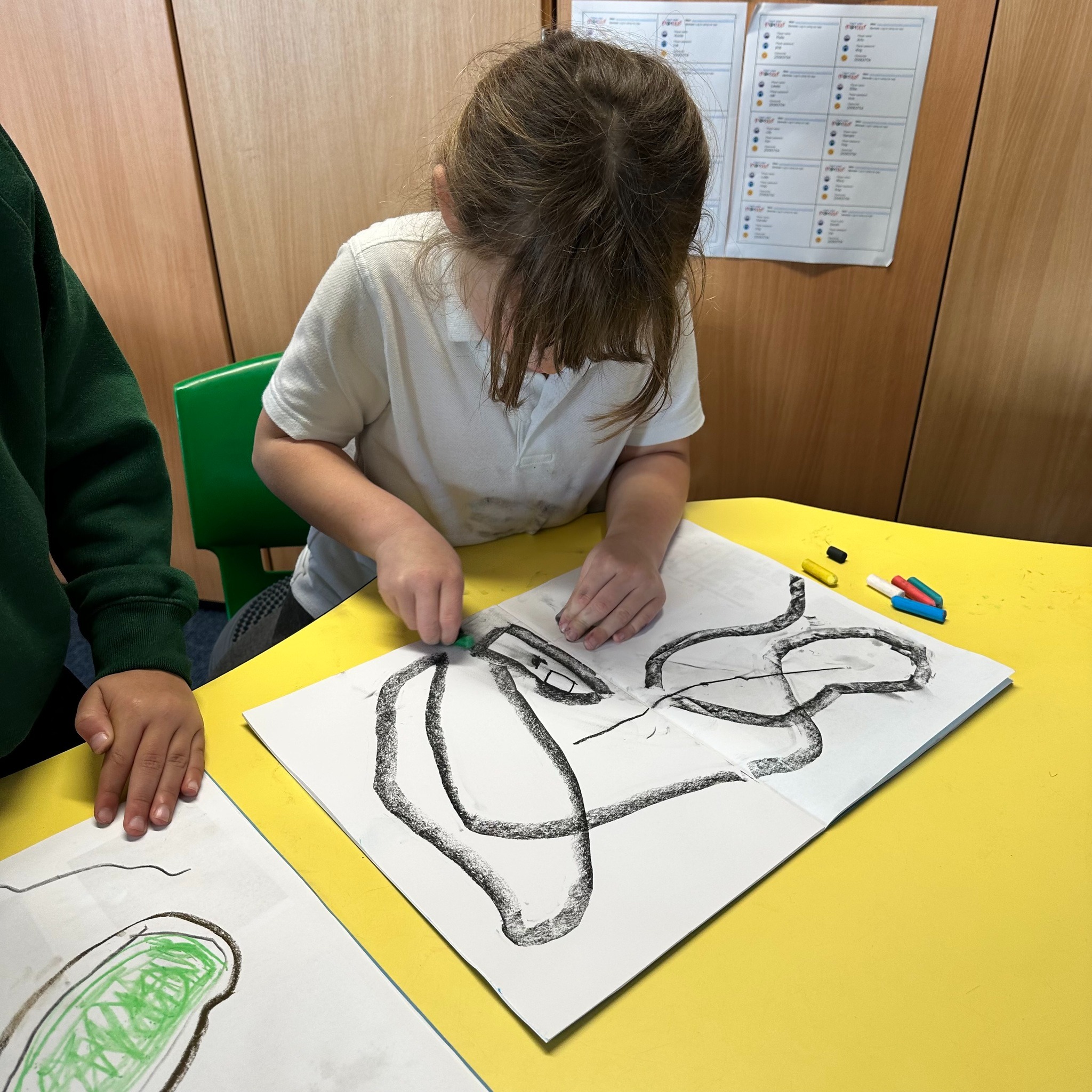
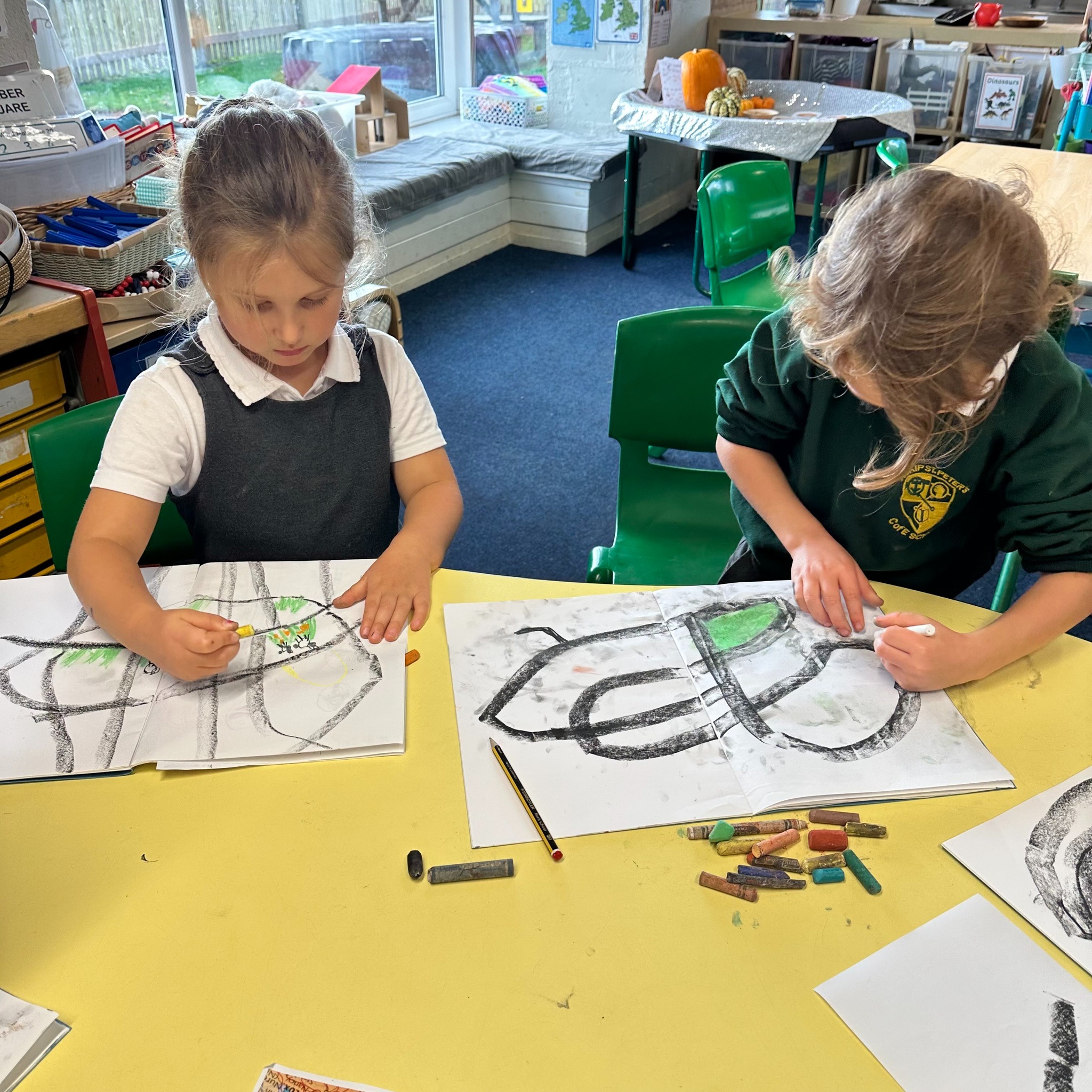
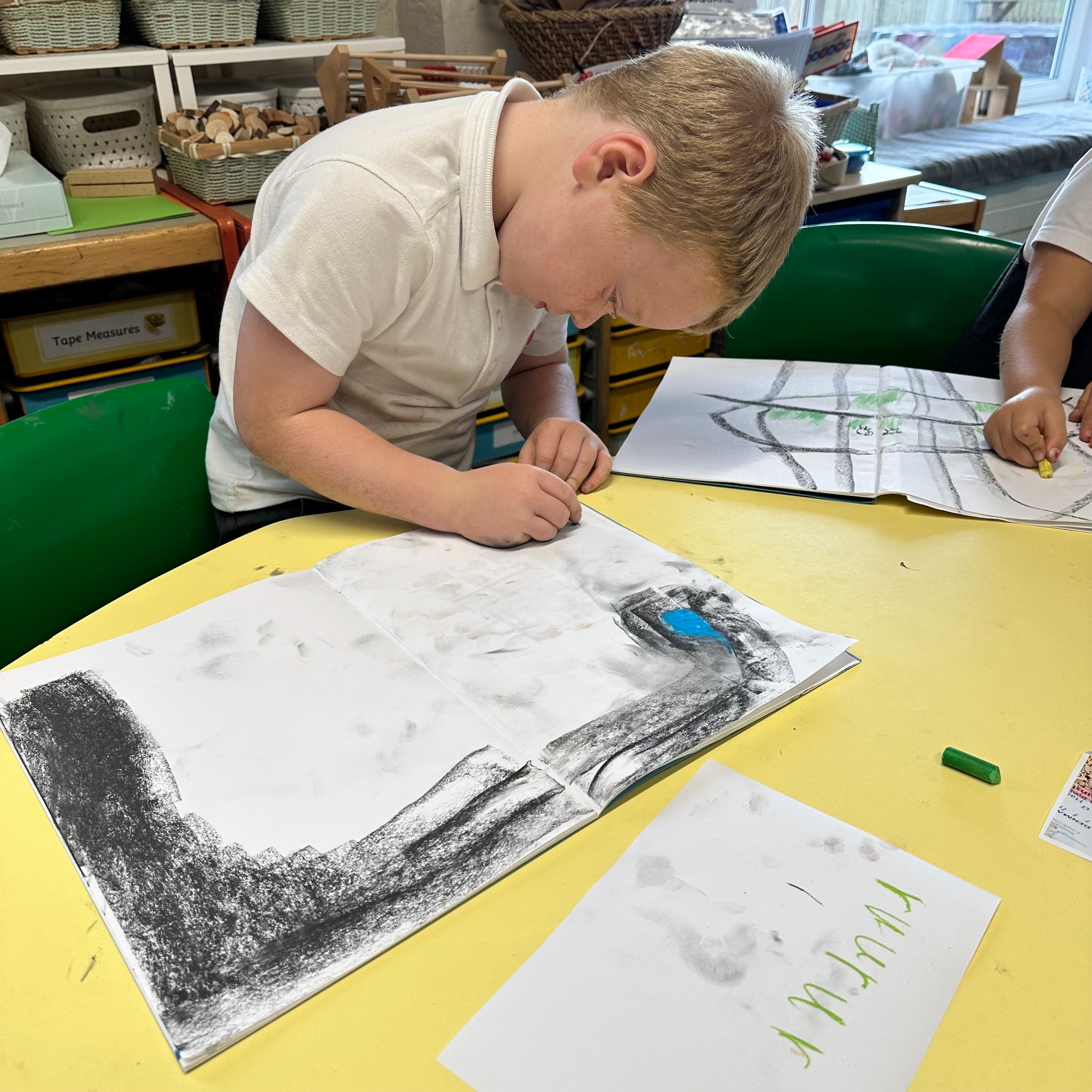
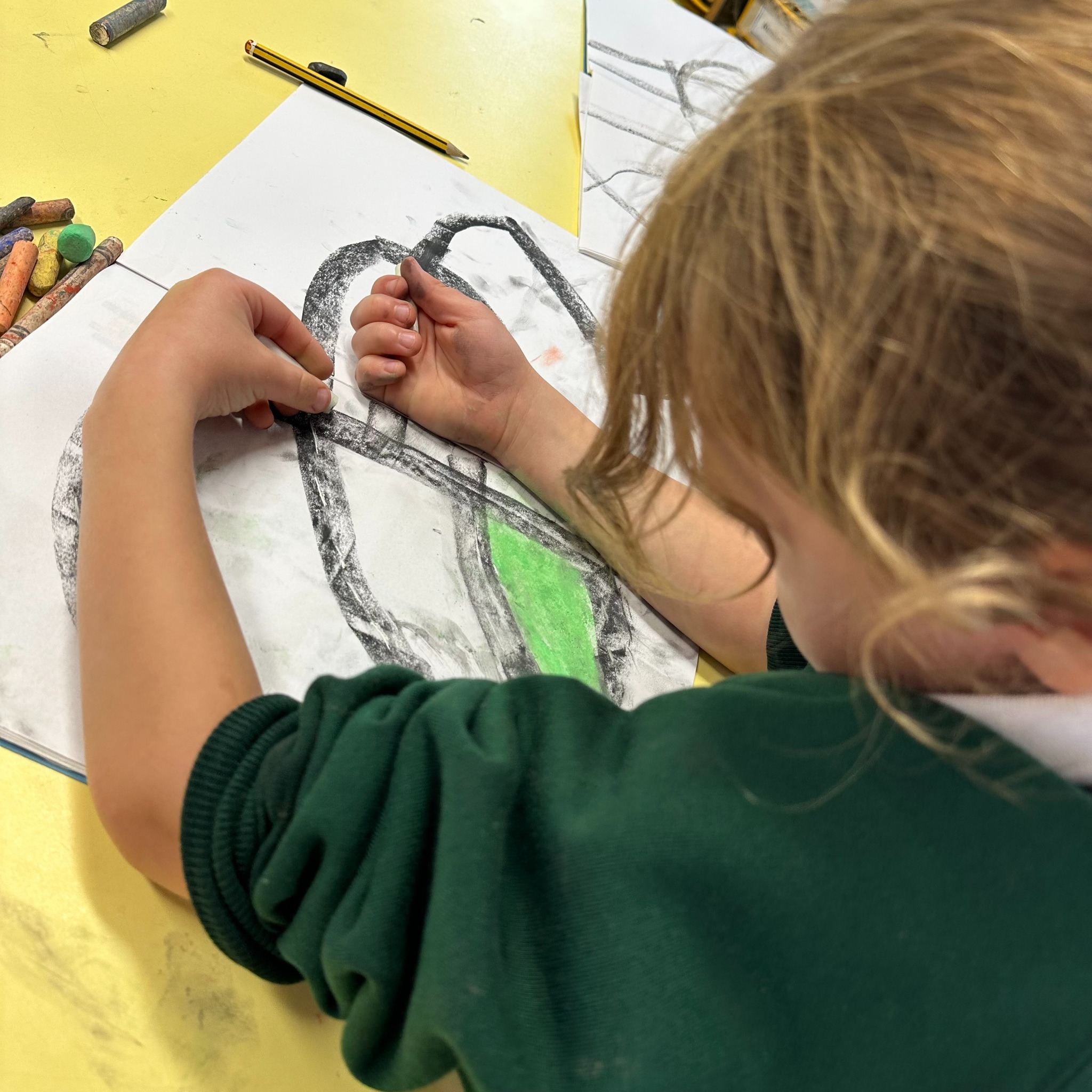
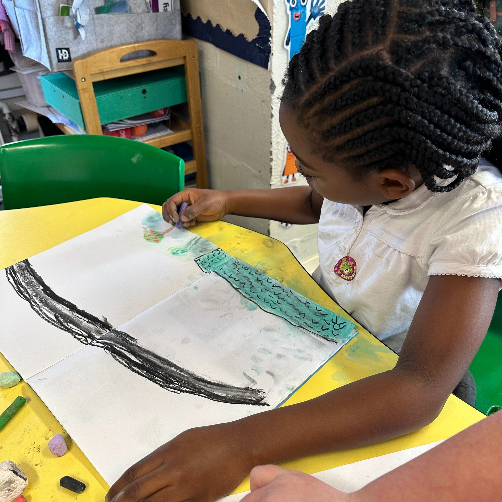
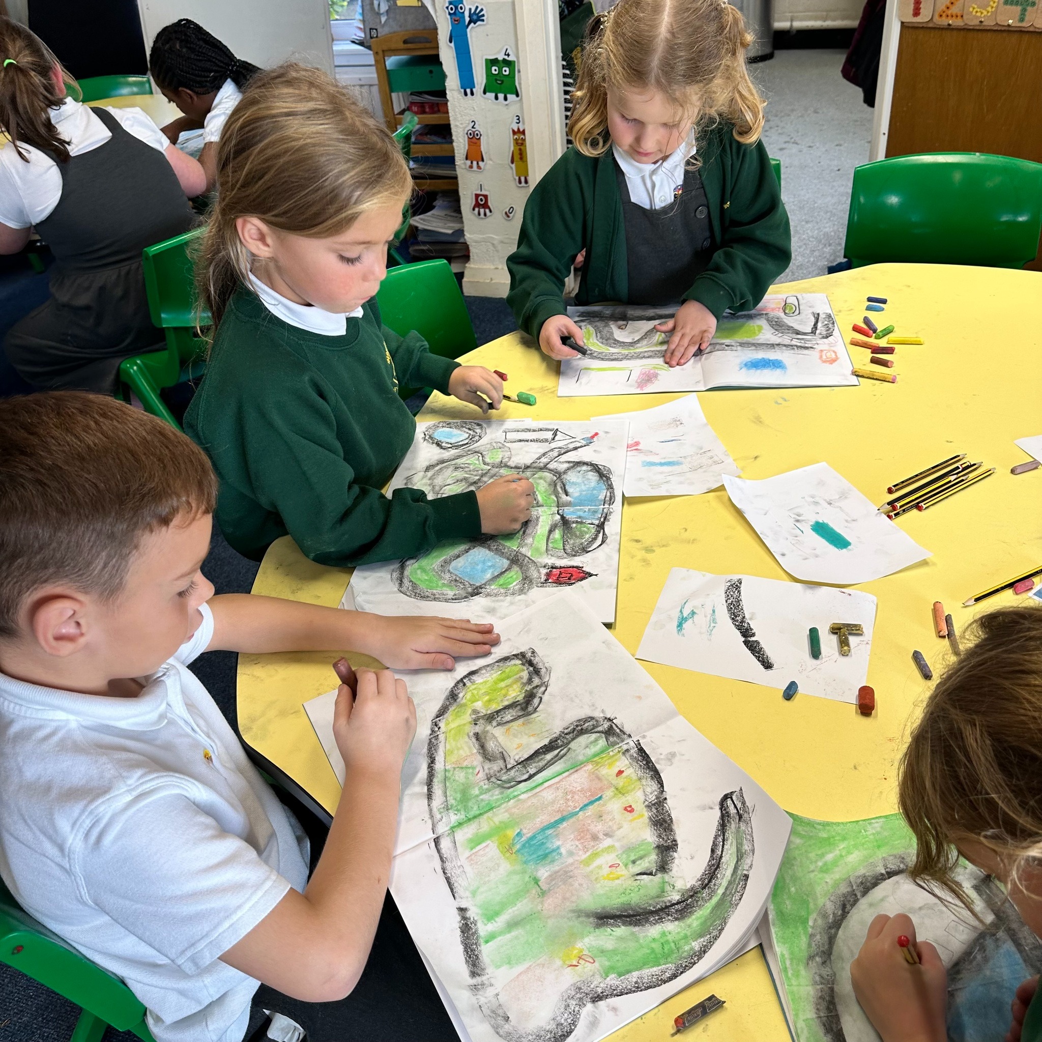
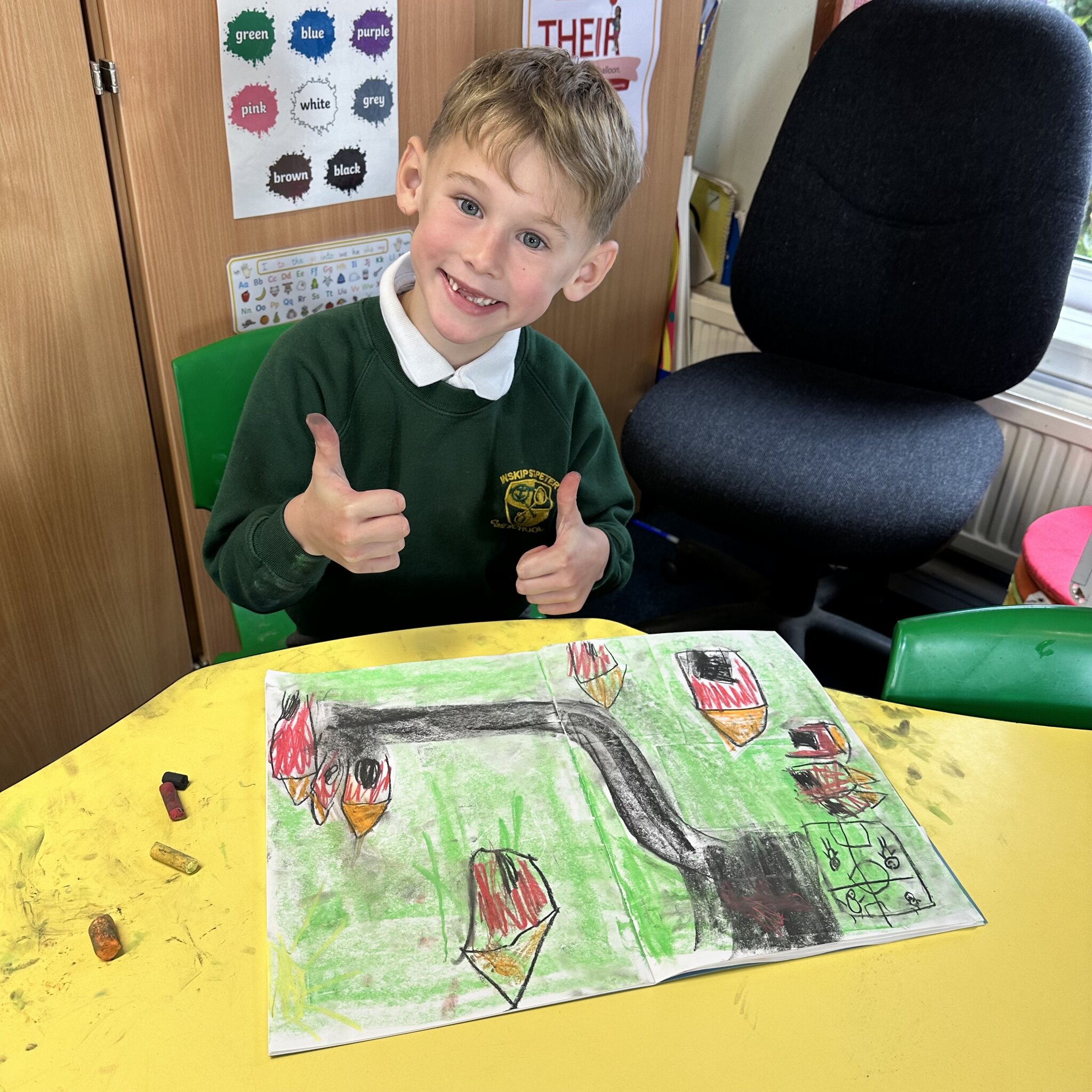
We talked about how artists sometimes make maps or work inspired by maps and then I asked the children to think about their route to school or another journey that is familiar to them such as their route to Grandma’s house or to swimming lessons. Then they created a map drawing with chalks and pastels thinking carefully about their route to things they would include on their maps.
Here are just few photos of the children as they began their maps.