Middle school have begun their new class topic of exploration, lending nicely into their geography topic of maps and mapreading.
We begun by investigating what maps were for and why we might need them.
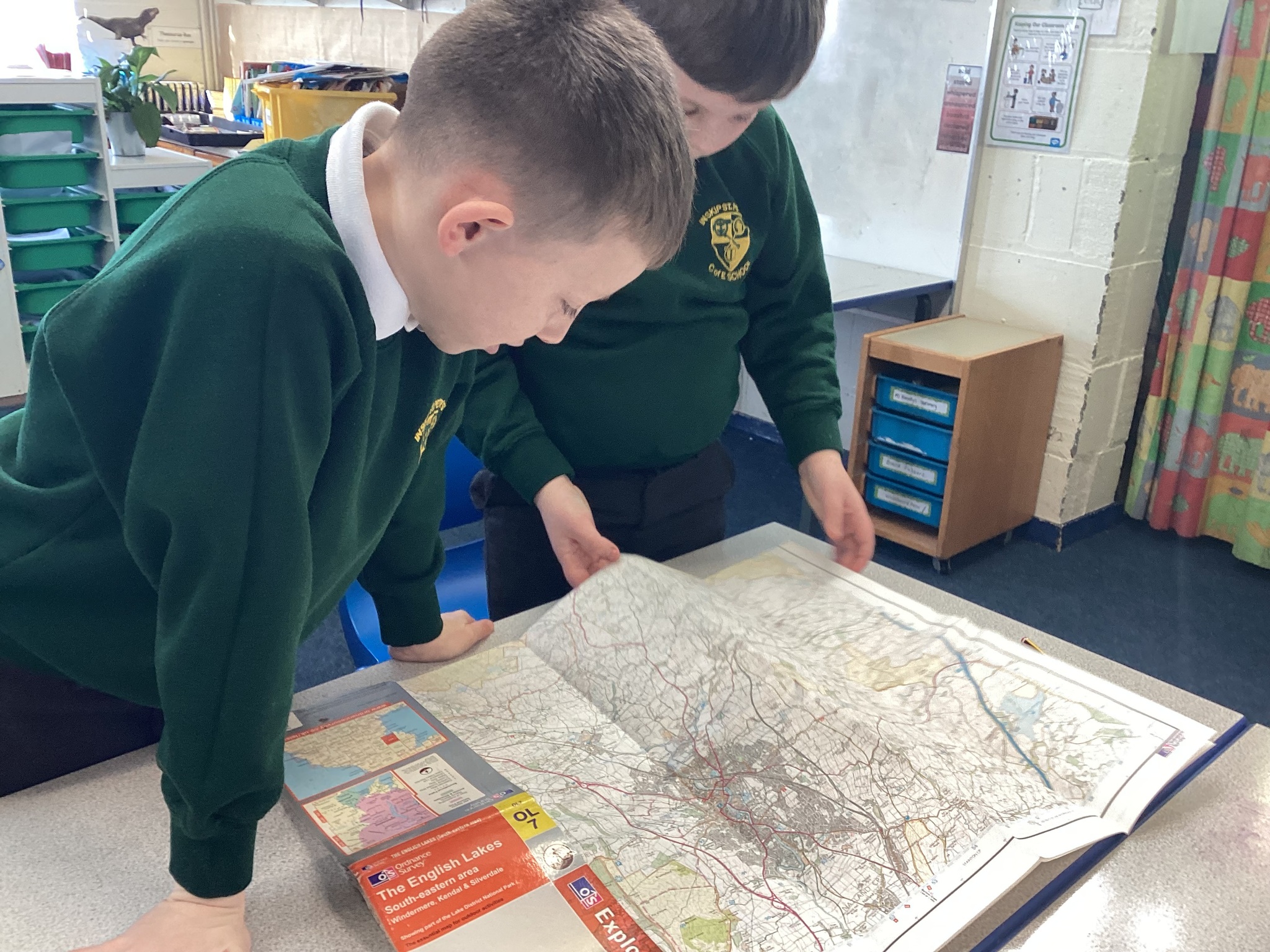
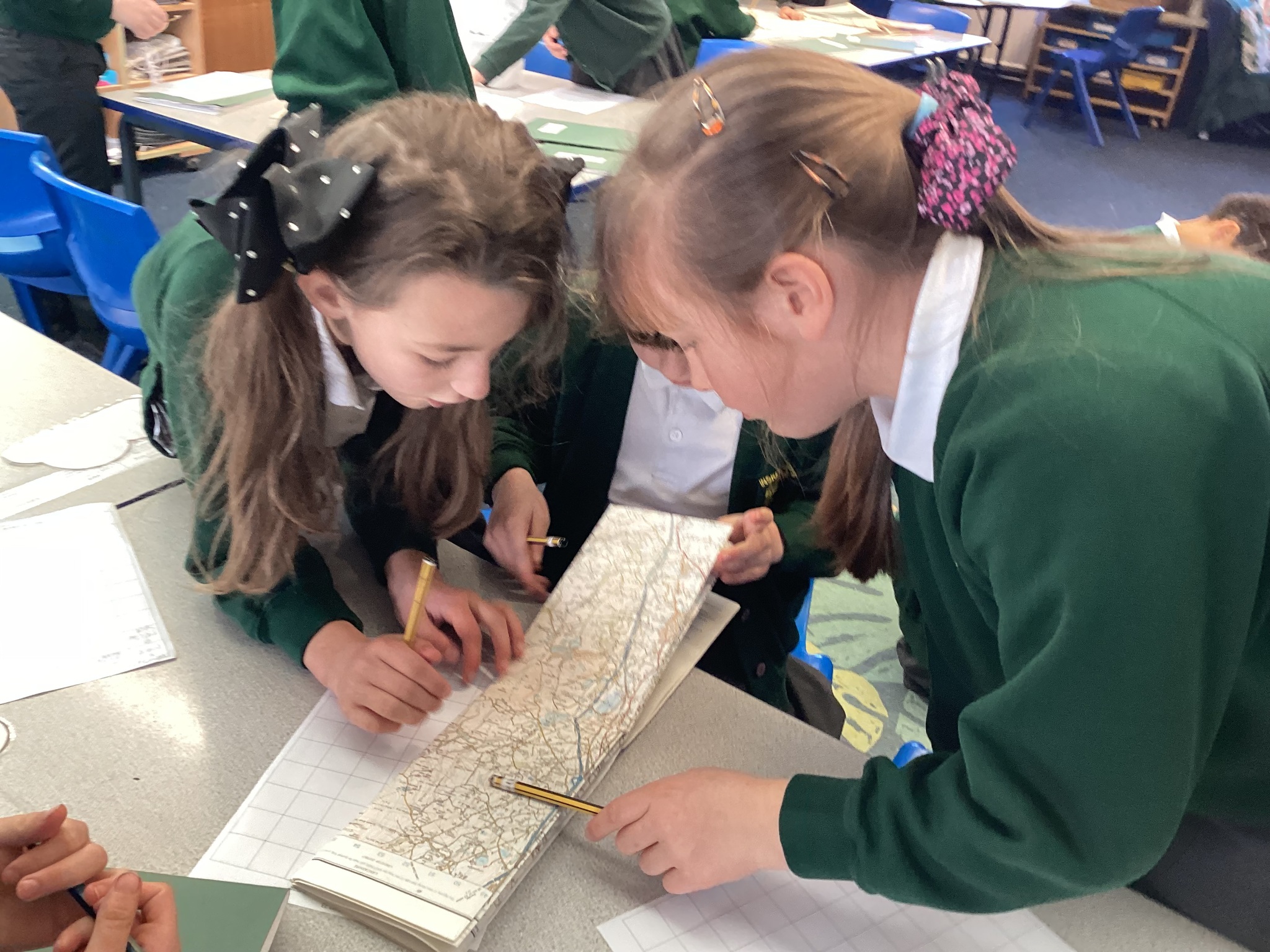
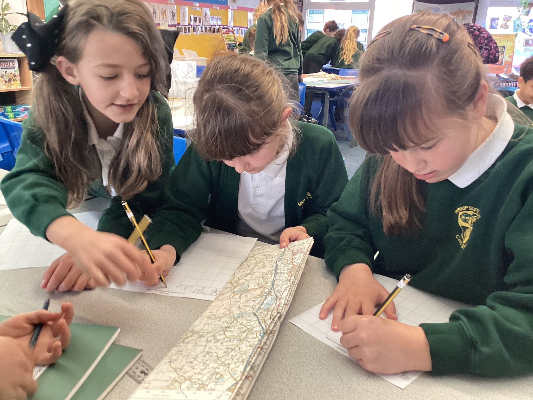
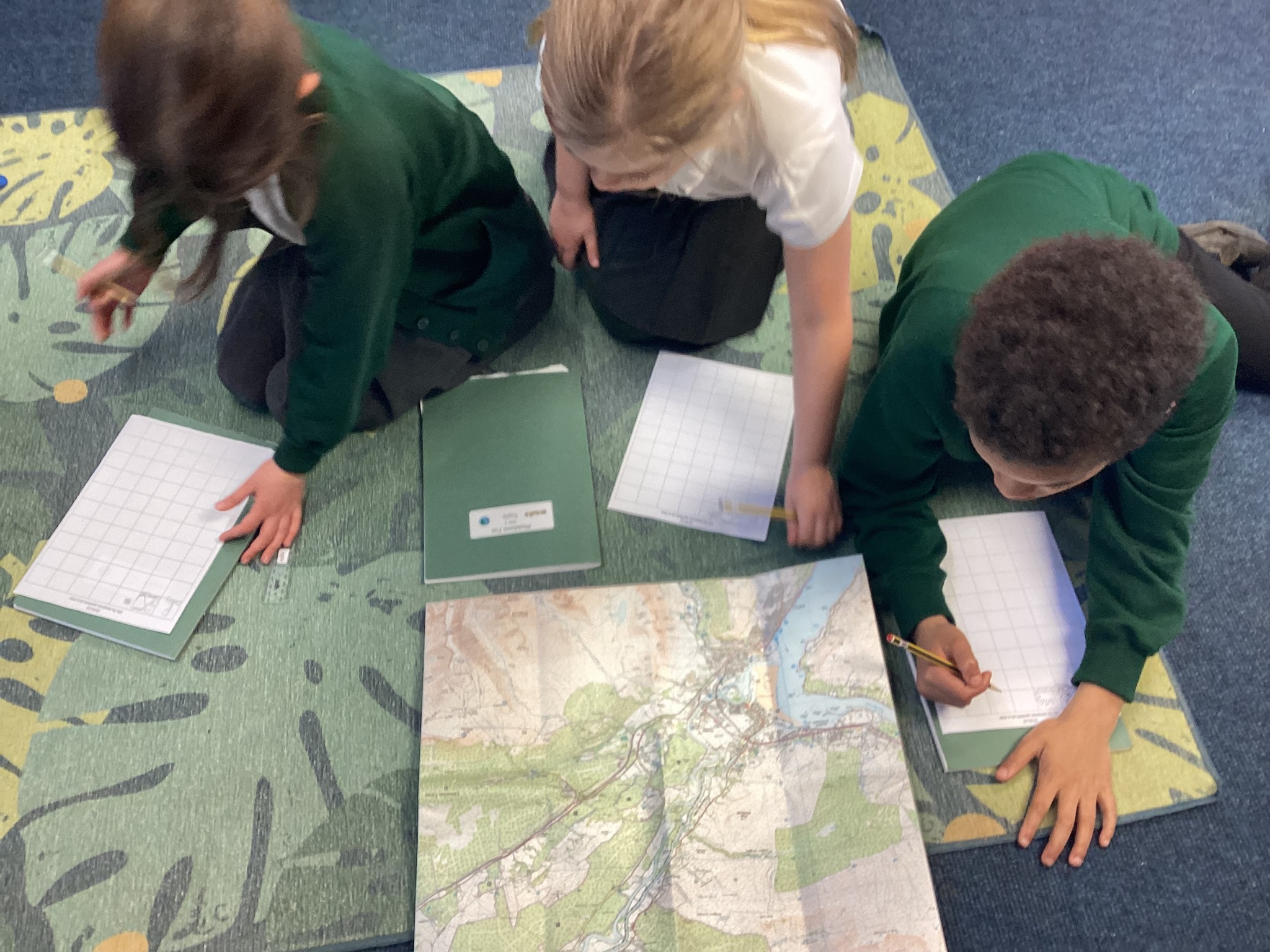
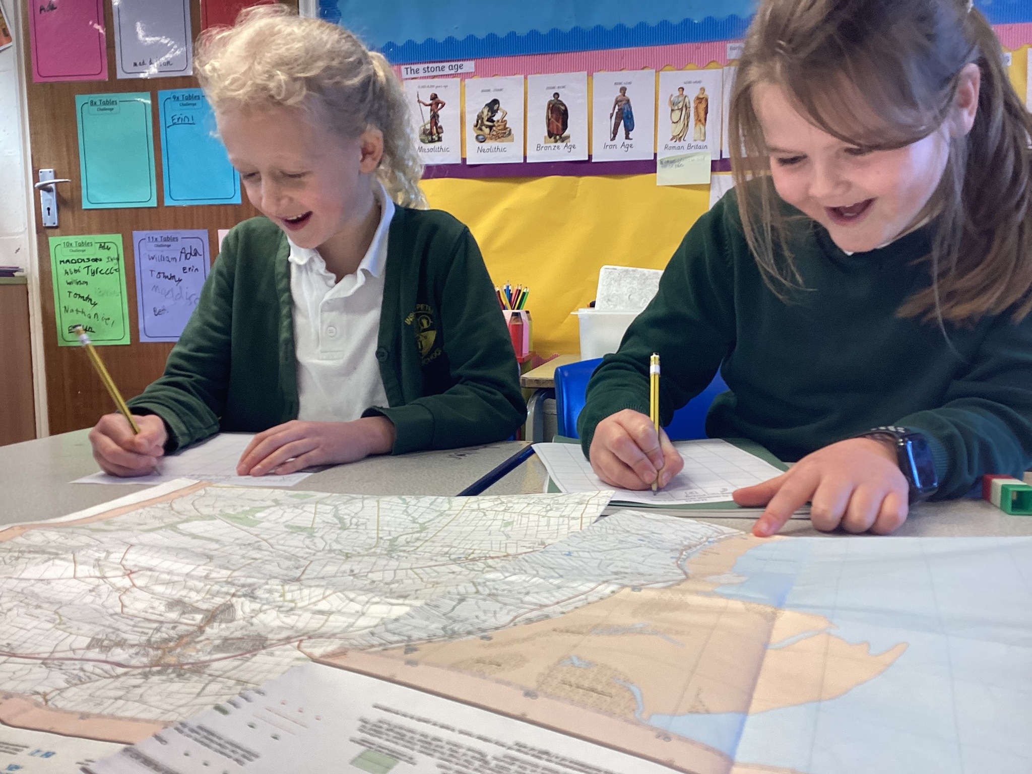
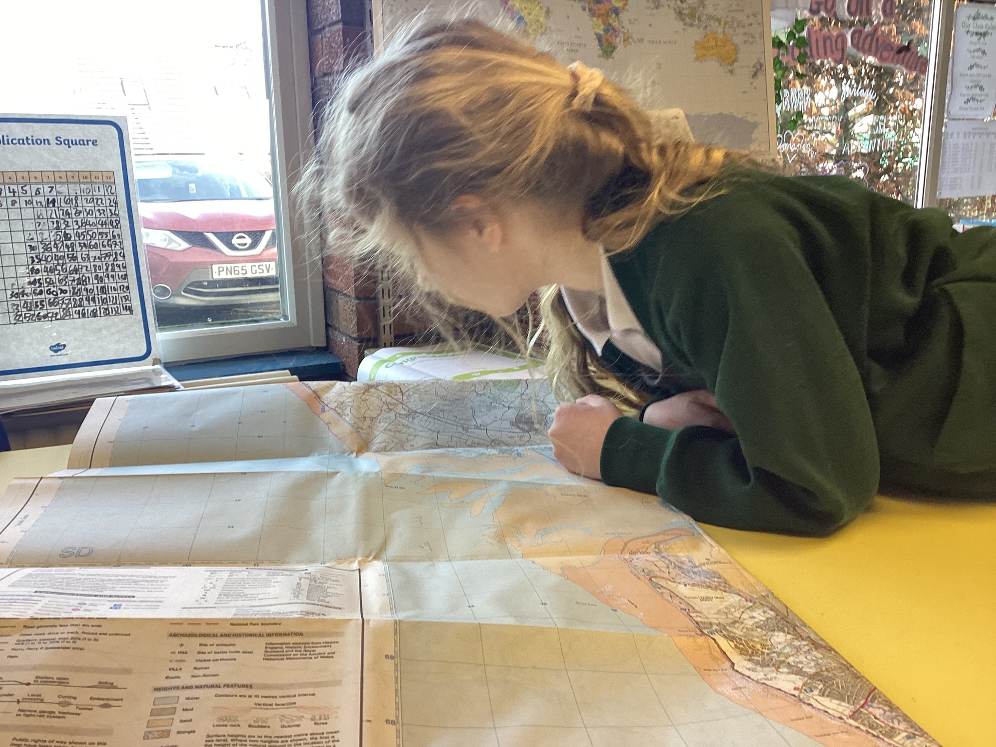
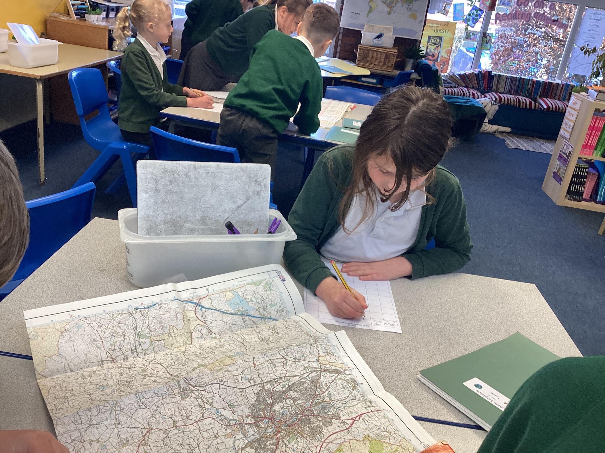
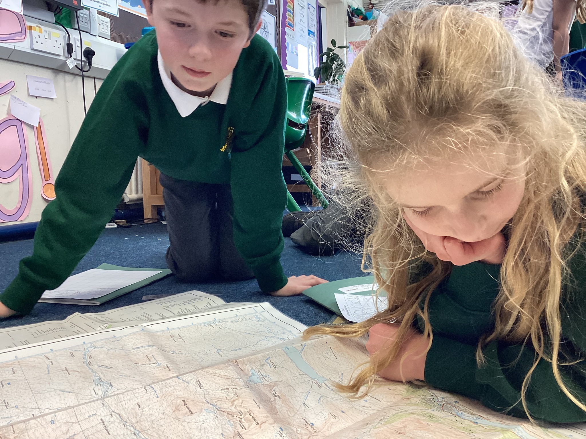
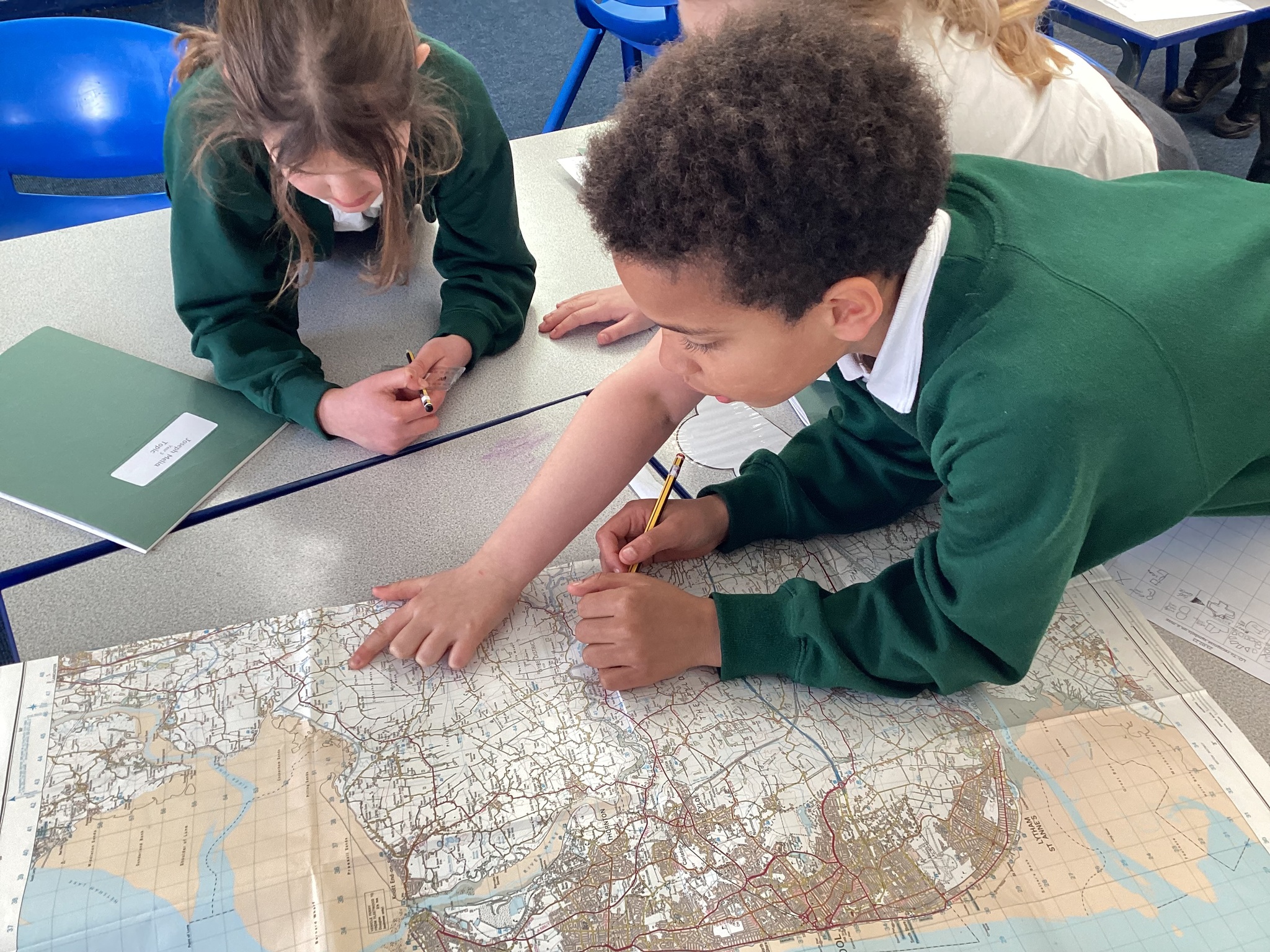
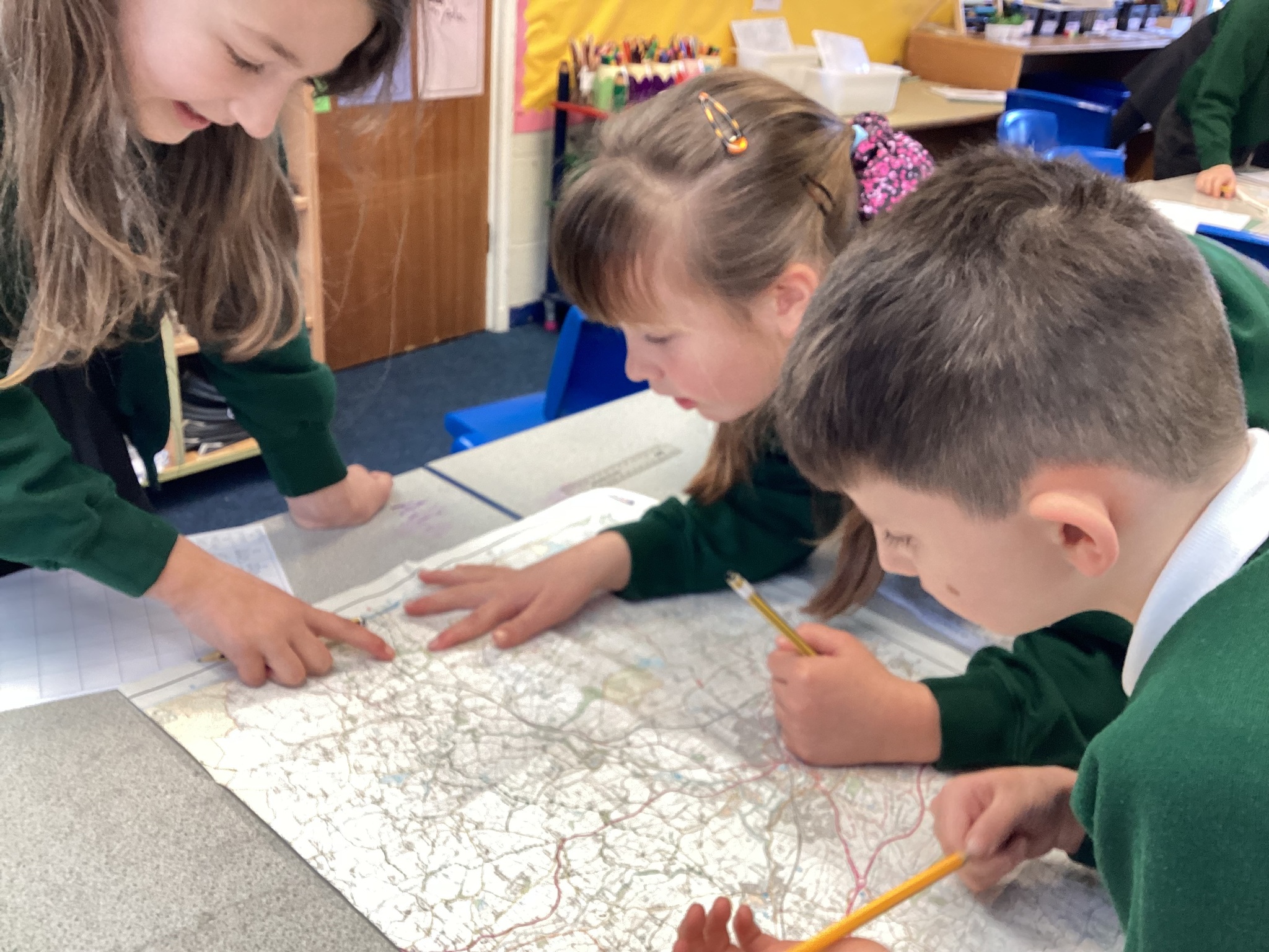
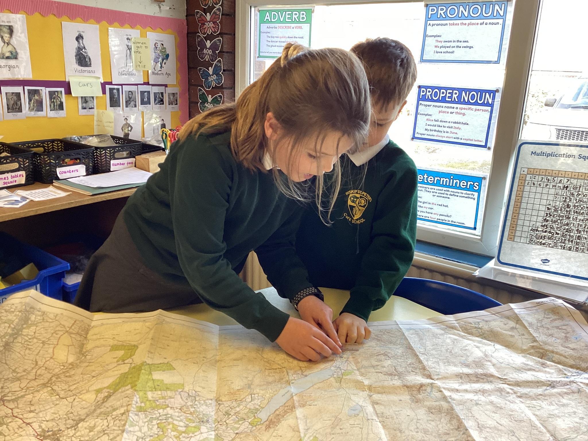
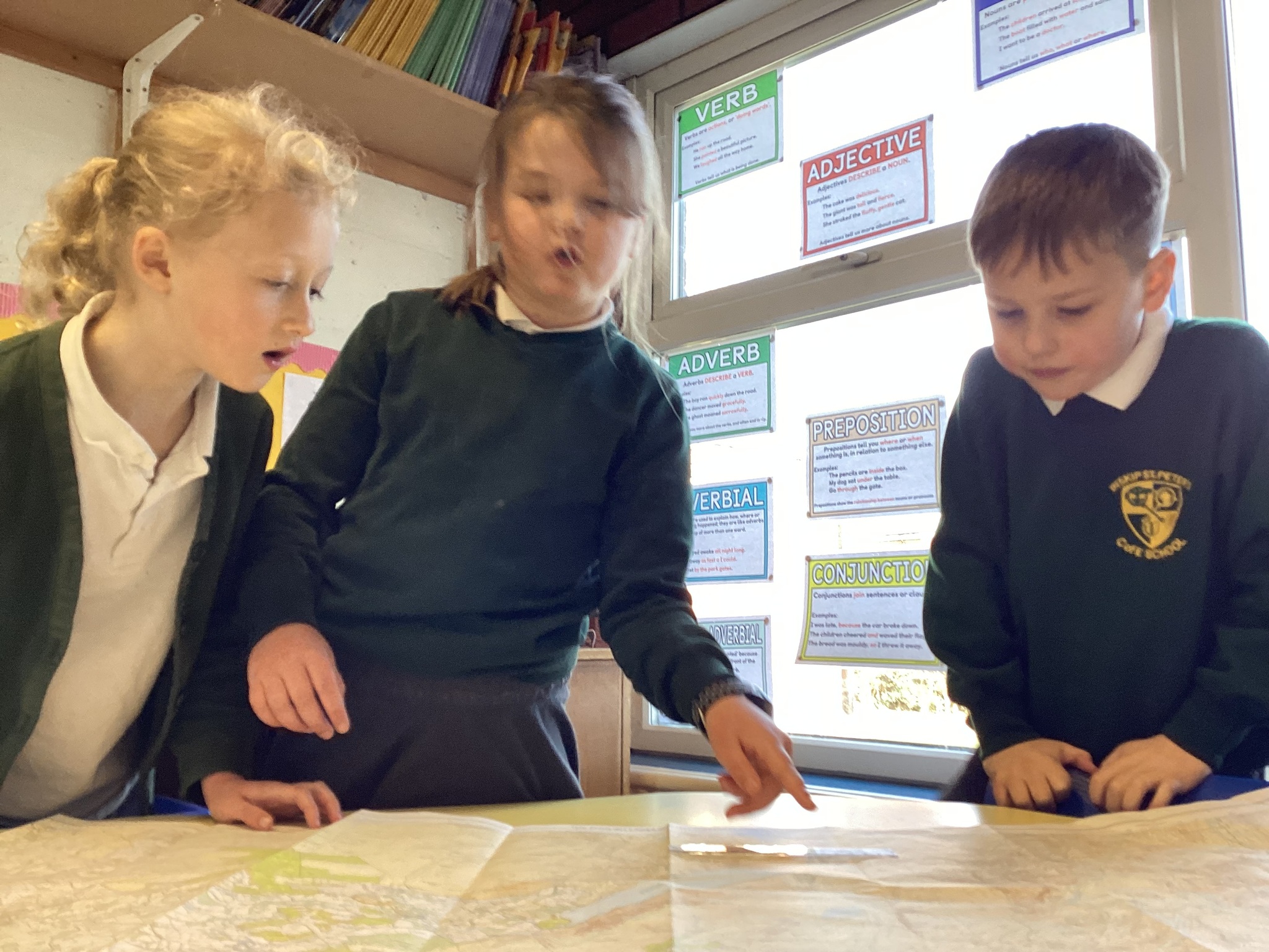
We then investigated all of the different types of maps we can find - some were better for some things than others! Google maps is great for giving directions when you're driving a car, whereas Ordinance Survey Explorer maps were great for going hiking in the mountains.
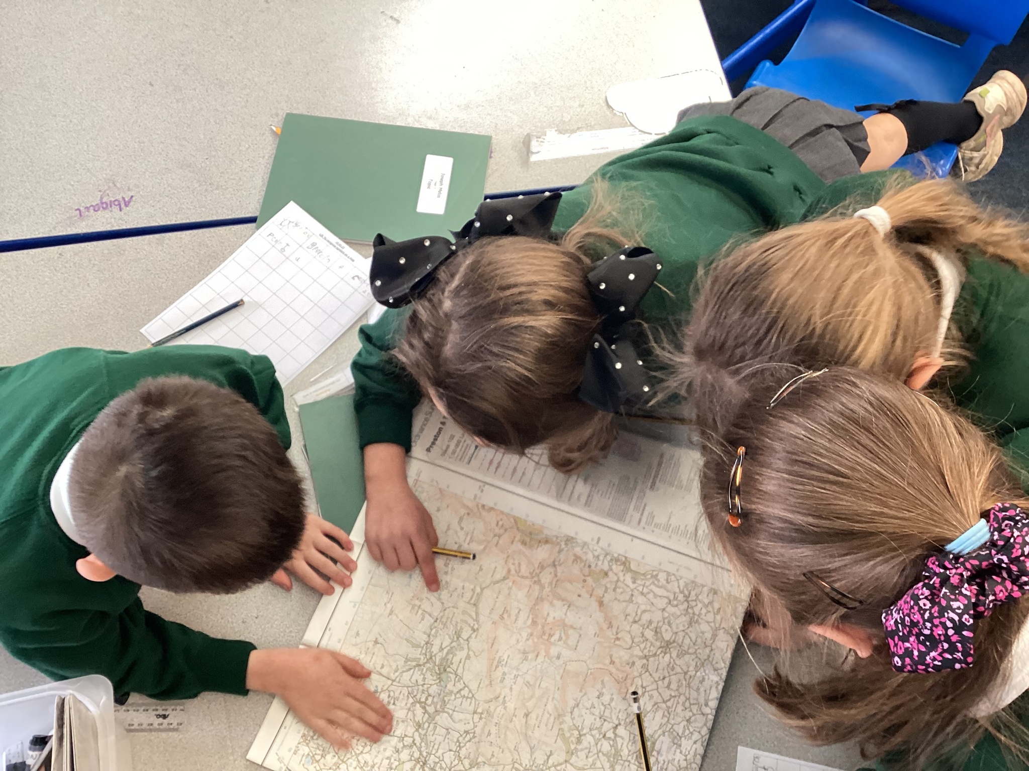
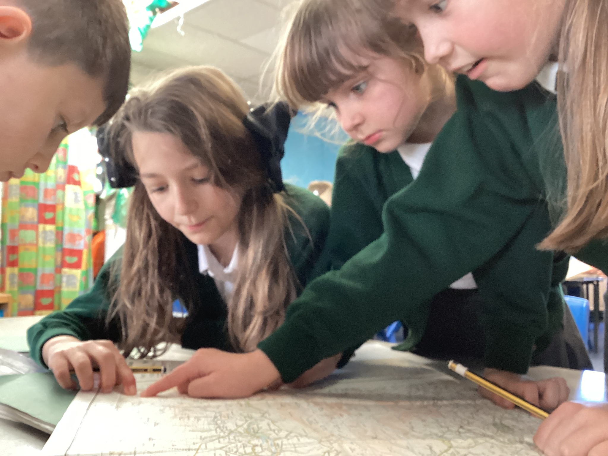
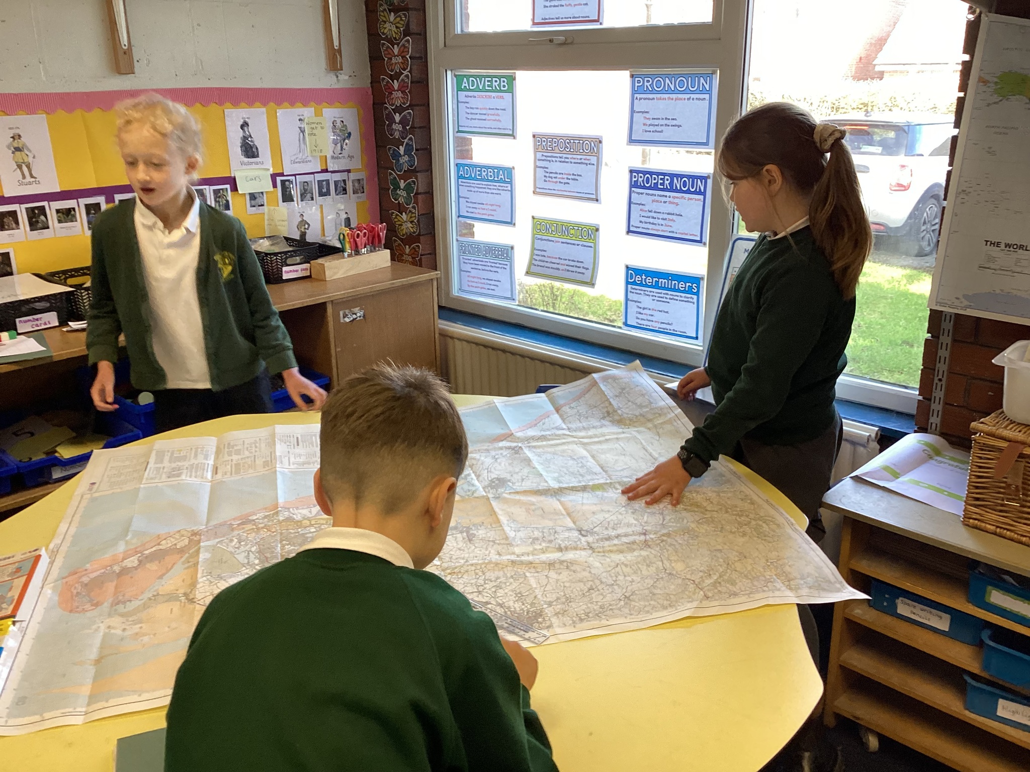
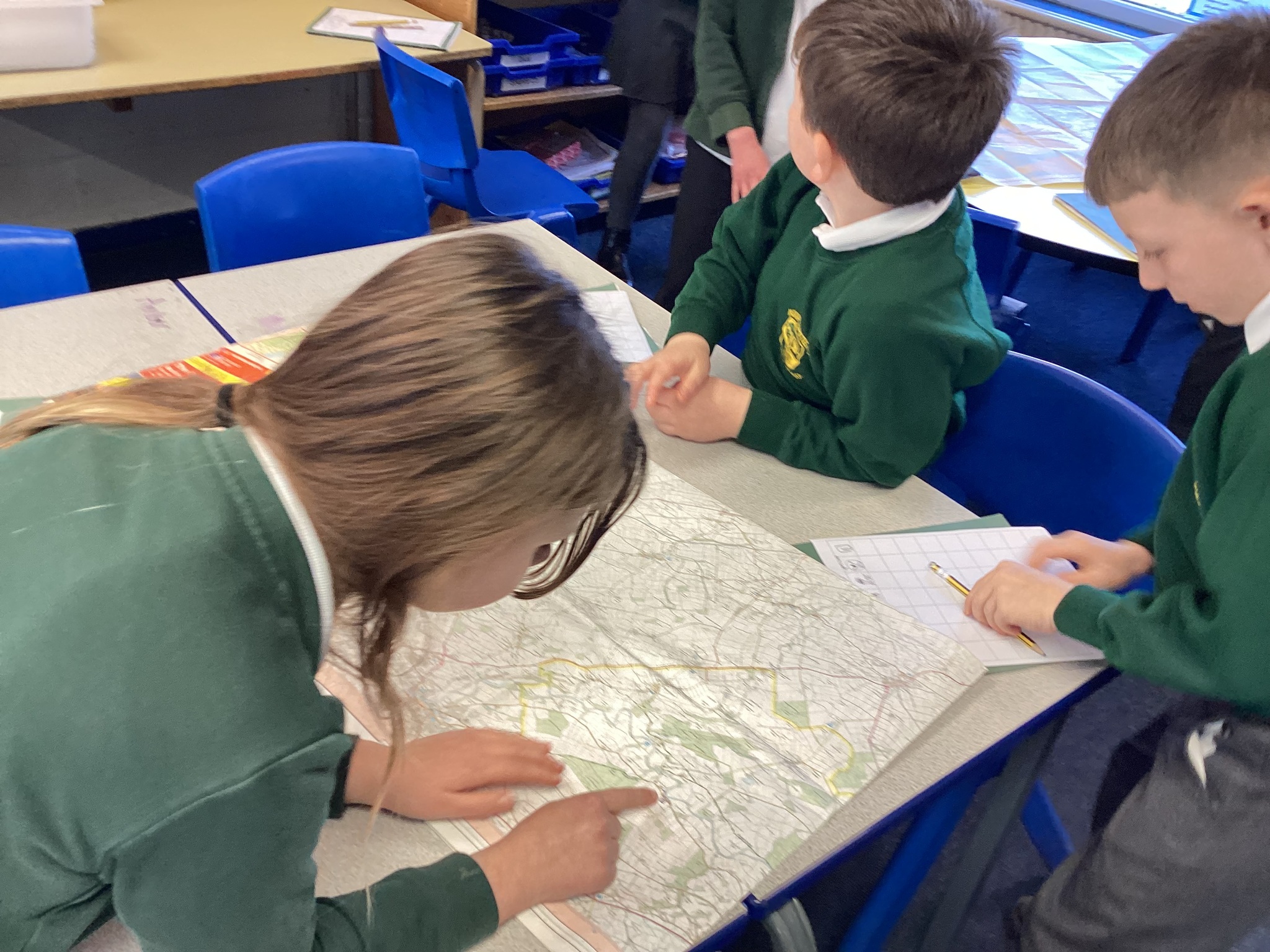
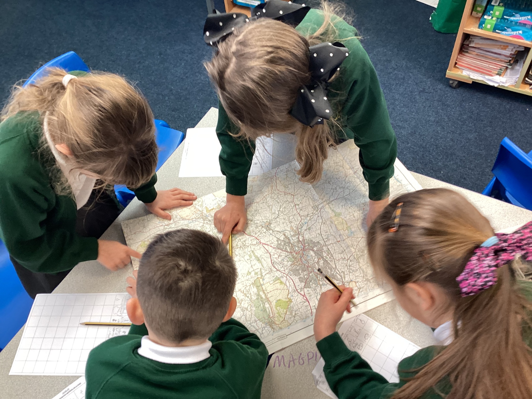
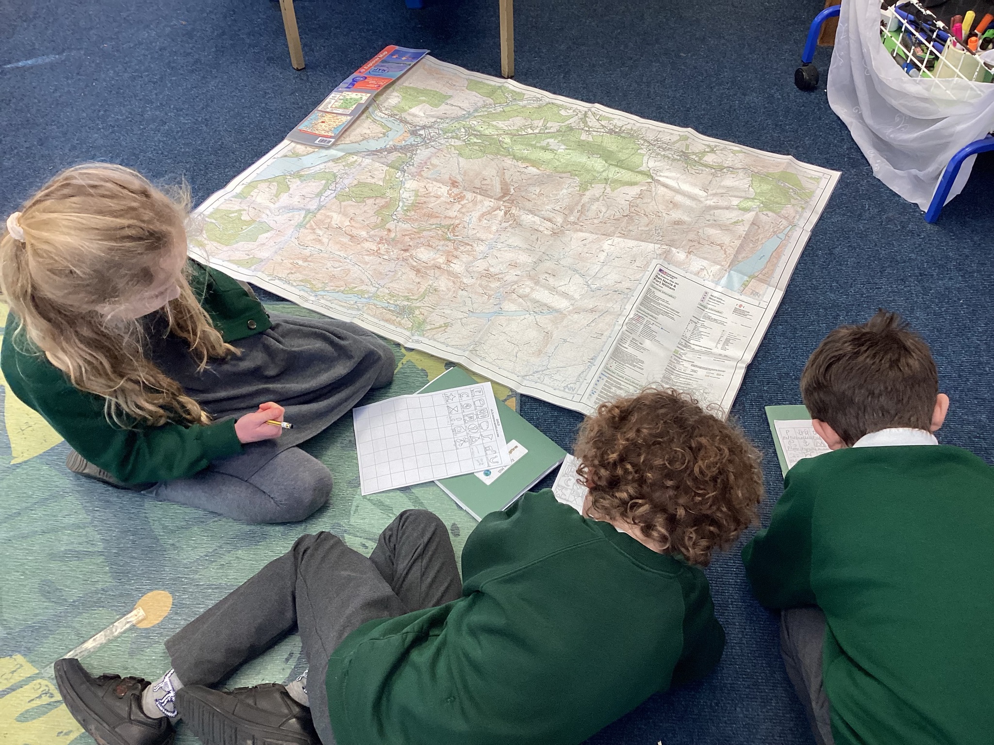
Children learned that maps use lots of different symbols to help tell people where things are - we had a symbol treasure hunt using Ms Hennelly's hiking maps! Children found as many symbols as they could and used the legend to find out what they mean.
At the end of the lesson, we played map symbol bingo!
Geography MS 24.02.23